
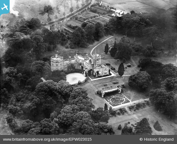
EPW023015 ENGLAND (1928). St Clare, Ryde, 1928
© Copyright OpenStreetMap contributors and licensed by the OpenStreetMap Foundation. 2026. Cartography is licensed as CC BY-SA.
Details
| Title | [EPW023015] St Clare, Ryde, 1928 |
| Reference | EPW023015 |
| Date | August-1928 |
| Link | |
| Place name | RYDE |
| Parish | NETTLESTONE AND SEAVIEW |
| District | |
| Country | ENGLAND |
| Easting / Northing | 461187, 92058 |
| Longitude / Latitude | -1.1330493891862, 50.724345923645 |
| National Grid Reference | SZ612921 |
Pins
Be the first to add a comment to this image!