
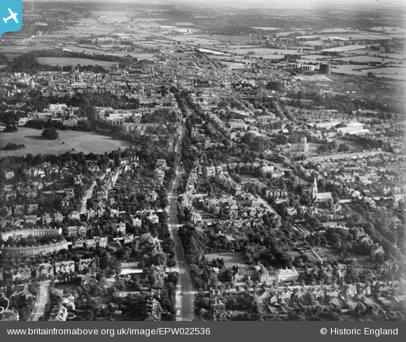
EPW022536 ENGLAND (1928). Banbury Road and environs, Oxford, from the north, 1928
© Copyright OpenStreetMap contributors and licensed by the OpenStreetMap Foundation. 2026. Cartography is licensed as CC BY-SA.
Details
| Title | [EPW022536] Banbury Road and environs, Oxford, from the north, 1928 |
| Reference | EPW022536 |
| Date | 11-August-1928 |
| Link | |
| Place name | OXFORD |
| Parish | |
| District | |
| Country | ENGLAND |
| Easting / Northing | 451041, 207796 |
| Longitude / Latitude | -1.2602833503791, 51.766061340683 |
| National Grid Reference | SP510078 |
Pins
Be the first to add a comment to this image!