
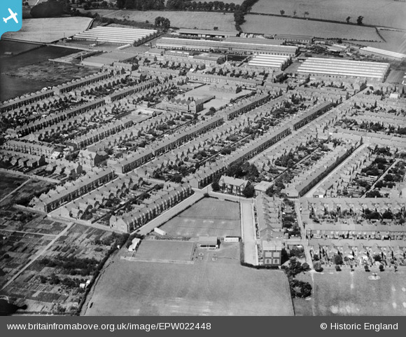
EPW022448 ENGLAND (1928). Windsor Street and environs, Wolverton, 1928
© Copyright OpenStreetMap contributors and licensed by the OpenStreetMap Foundation. 2026. Cartography is licensed as CC BY-SA.
Details
| Title | [EPW022448] Windsor Street and environs, Wolverton, 1928 |
| Reference | EPW022448 |
| Date | August-1928 |
| Link | |
| Place name | WOLVERTON |
| Parish | WOLVERTON AND GREENLEYS |
| District | |
| Country | ENGLAND |
| Easting / Northing | 481448, 240778 |
| Longitude / Latitude | -0.81188904222229, 52.058969691903 |
| National Grid Reference | SP814408 |
Pins

Bongo 63 |
Wednesday 4th of February 2026 07:35:14 PM | |
|
Bongo 63 |
Wednesday 4th of February 2026 07:27:41 PM | |
|
swrzzzz |
Friday 29th of November 2024 04:23:04 PM | |
|
Max |
Wednesday 15th of March 2023 12:50:02 PM | |
|
Steve_R |
Friday 4th of October 2019 07:02:57 PM | |
|
Steve_R |
Friday 4th of October 2019 07:01:58 PM | |
|
Steve_R |
Friday 4th of October 2019 07:01:34 PM | |
|
RH |
Thursday 25th of December 2014 12:11:09 AM |
