
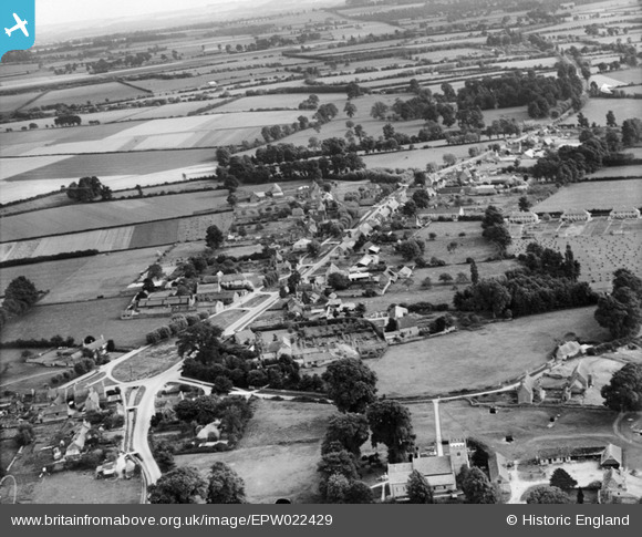
EPW022429 ENGLAND (1928). The village, Clanfield, from the north, 1928
© Copyright OpenStreetMap contributors and licensed by the OpenStreetMap Foundation. 2026. Cartography is licensed as CC BY-SA.
Details
| Title | [EPW022429] The village, Clanfield, from the north, 1928 |
| Reference | EPW022429 |
| Date | August-1928 |
| Link | |
| Place name | CLANFIELD |
| Parish | CLANFIELD |
| District | |
| Country | ENGLAND |
| Easting / Northing | 428432, 201994 |
| Longitude / Latitude | -1.5884080244507, 51.715495407804 |
| National Grid Reference | SP284020 |
Pins
Be the first to add a comment to this image!