
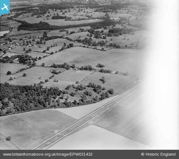
EPW021432 ENGLAND (1928). Countryside between Bush Wood and Peplin's Wood, Welham Green, 1928
© Copyright OpenStreetMap contributors and licensed by the OpenStreetMap Foundation. 2026. Cartography is licensed as CC BY-SA.
Details
| Title | [EPW021432] Countryside between Bush Wood and Peplin's Wood, Welham Green, 1928 |
| Reference | EPW021432 |
| Date | 30-May-1928 |
| Link | |
| Place name | WELHAM GREEN |
| Parish | NORTH MYMMS |
| District | |
| Country | ENGLAND |
| Easting / Northing | 522629, 205016 |
| Longitude / Latitude | -0.22414852585259, 51.729972224785 |
| National Grid Reference | TL226050 |
Pins

Al C |
Friday 10th of February 2017 05:29:33 PM | |
|
Al C |
Friday 10th of February 2017 05:28:55 PM | |
|
Al C |
Friday 10th of February 2017 05:27:33 PM | |
|
Al C |
Friday 10th of February 2017 05:27:06 PM | |
|
Al C |
Friday 10th of February 2017 05:26:16 PM | |
|
Al C |
Friday 10th of February 2017 05:25:30 PM | |
|
Al C |
Friday 10th of February 2017 05:24:41 PM | |
|
Al C |
Friday 10th of February 2017 05:23:46 PM | |
|
Al C |
Friday 10th of February 2017 05:23:46 PM | |
|
Al C |
Friday 10th of February 2017 05:23:12 PM | |
|
Al C |
Friday 10th of February 2017 05:22:20 PM | |
|
Al C |
Friday 10th of February 2017 05:21:35 PM | |
|
Al C |
Friday 10th of February 2017 05:19:55 PM | |
|
Al C |
Friday 10th of February 2017 05:19:22 PM | |
|
Al C |
Friday 10th of February 2017 05:17:43 PM | |
|
Al C |
Friday 10th of February 2017 05:17:12 PM | |
|
Al C |
Friday 10th of February 2017 05:17:10 PM |