
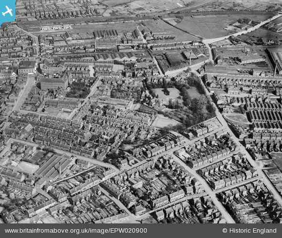
EPW020900 ENGLAND (1928). The town around Belfield and South Street, Long Eaton, 1928
© Copyright OpenStreetMap contributors and licensed by the OpenStreetMap Foundation. 2025. Cartography is licensed as CC BY-SA.
Details
| Title | [EPW020900] The town around Belfield and South Street, Long Eaton, 1928 |
| Reference | EPW020900 |
| Date | April-1928 |
| Link | |
| Place name | LONG EATON |
| Parish | |
| District | |
| Country | ENGLAND |
| Easting / Northing | 449333, 333224 |
| Longitude / Latitude | -1.2666182552276, 52.893877208447 |
| National Grid Reference | SK493332 |
Pins
Be the first to add a comment to this image!