
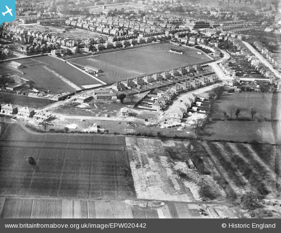
EPW020442 ENGLAND (1928). Pirrie Park Sports Ground, Southampton, 1928
© Copyright OpenStreetMap contributors and licensed by the OpenStreetMap Foundation. 2026. Cartography is licensed as CC BY-SA.
Details
| Title | [EPW020442] Pirrie Park Sports Ground, Southampton, 1928 |
| Reference | EPW020442 |
| Date | 16-March-1928 |
| Link | |
| Place name | SOUTHAMPTON |
| Parish | |
| District | |
| Country | ENGLAND |
| Easting / Northing | 440909, 114199 |
| Longitude / Latitude | -1.4178752162732, 50.925243984334 |
| National Grid Reference | SU409142 |
Pins

DavidFile |
Sunday 10th of May 2015 10:58:12 AM | |
|
Triumph2000 |
Thursday 14th of March 2013 12:54:20 PM | |

Class31 |
Monday 6th of August 2012 08:40:14 AM | |
|
Class31 |
Monday 6th of August 2012 08:35:34 AM | |
|
Class31 |
Monday 6th of August 2012 08:34:55 AM | |
|
Class31 |
Monday 6th of August 2012 08:34:23 AM | |
|
Tipps |
Tuesday 24th of July 2012 02:20:36 AM | |
|
Tipps |
Tuesday 24th of July 2012 02:17:25 AM | |
|
Tipps |
Tuesday 24th of July 2012 02:16:14 AM |
User Comment Contributions
View looking west. |
Class31 |
Monday 6th of August 2012 08:42:46 AM |