
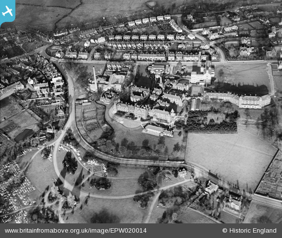
EPW020014 ENGLAND (1927). The North Staffordshire Royal Infirmary, Hartshill, 1927
© Copyright OpenStreetMap contributors and licensed by the OpenStreetMap Foundation. 2026. Cartography is licensed as CC BY-SA.
Details
| Title | [EPW020014] The North Staffordshire Royal Infirmary, Hartshill, 1927 |
| Reference | EPW020014 |
| Date | October-1927 |
| Link | |
| Place name | HARTSHILL |
| Parish | |
| District | |
| Country | ENGLAND |
| Easting / Northing | 386609, 345451 |
| Longitude / Latitude | -2.1995834925811, 53.005897867296 |
| National Grid Reference | SJ866455 |
