
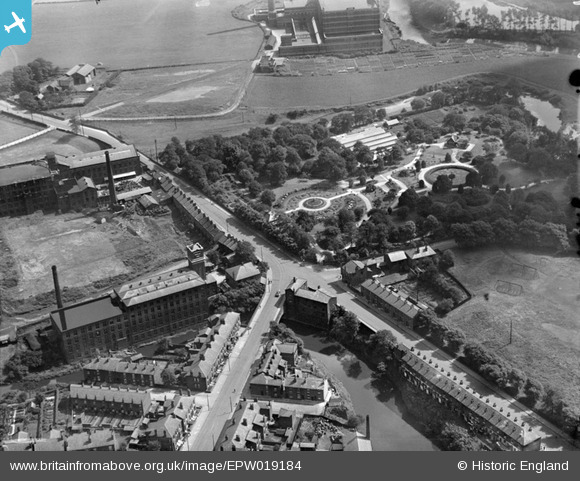
EPW019184 ENGLAND (1927). Vernon Park, Portwood, 1927
© Copyright OpenStreetMap contributors and licensed by the OpenStreetMap Foundation. 2025. Cartography is licensed as CC BY-SA.
Details
| Title | [EPW019184] Vernon Park, Portwood, 1927 |
| Reference | EPW019184 |
| Date | August-1927 |
| Link | |
| Place name | PORTWOOD |
| Parish | |
| District | |
| Country | ENGLAND |
| Easting / Northing | 390880, 390926 |
| Longitude / Latitude | -2.1372274787788, 53.414802156259 |
| National Grid Reference | SJ909909 |
