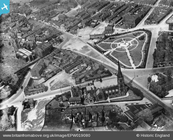
EPW019080 ENGLAND (1927). The Memorial Gardens (War Memorial) and environs, Ashton-Under-Lyne, 1927. This image has been produced from a copy-negative.
© Copyright OpenStreetMap contributors and licensed by the OpenStreetMap Foundation. 2026. Cartography is licensed as CC BY-SA.
Details
| Title | [EPW019080] The Memorial Gardens (War Memorial) and environs, Ashton-Under-Lyne, 1927. This image has been produced from a copy-negative. |
| Reference | EPW019080 |
| Date | 4-August-1927 |
| Link | |
| Place name | ASHTON-UNDER-LYNE |
| Parish | |
| District | |
| Country | ENGLAND |
| Easting / Northing | 394257, 399031 |
| Longitude / Latitude | -2.086562288517, 53.487709829411 |
| National Grid Reference | SJ943990 |
Pins

dodo |
Saturday 2nd of October 2021 06:21:43 PM | |

Robert Eric Lucas |
Wednesday 2nd of December 2020 03:58:58 PM | |

Robert Eric Lucas |
Wednesday 2nd of December 2020 03:58:01 PM | |

PennineRover |
Saturday 29th of August 2020 04:19:17 PM | |

PennineRover |
Saturday 29th of August 2020 04:18:46 PM | |

PennineRover |
Saturday 29th of August 2020 04:17:28 PM | |

PennineRover |
Saturday 29th of August 2020 04:14:32 PM |

