
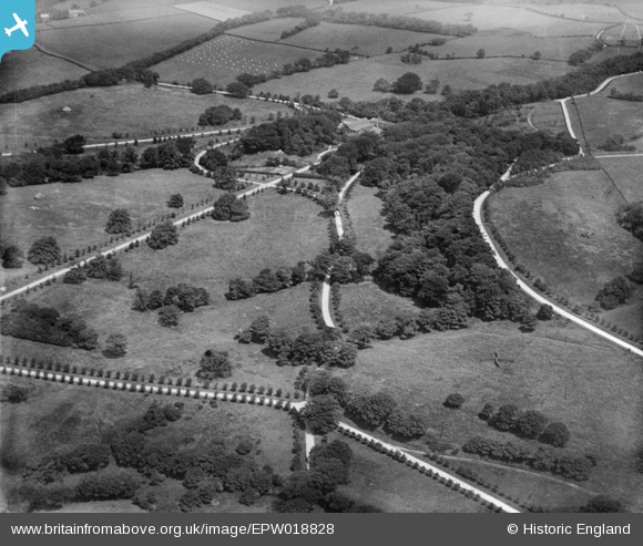
EPW018828 ENGLAND (1927). Lever Park, Rivington, 1927
© Copyright OpenStreetMap contributors and licensed by the OpenStreetMap Foundation. 2026. Cartography is licensed as CC BY-SA.
Details
| Title | [EPW018828] Lever Park, Rivington, 1927 |
| Reference | EPW018828 |
| Date | 10-July-1927 |
| Link | |
| Place name | RIVINGTON |
| Parish | RIVINGTON |
| District | |
| Country | ENGLAND |
| Easting / Northing | 363225, 414132 |
| Longitude / Latitude | -2.5560600740541, 53.622198207093 |
| National Grid Reference | SD632141 |
Pins
Be the first to add a comment to this image!
User Comment Contributions
1927 was after the death of Lord Leverhulme so the park would have been sold. |

JMB |
Sunday 22nd of July 2012 12:55:49 PM |