
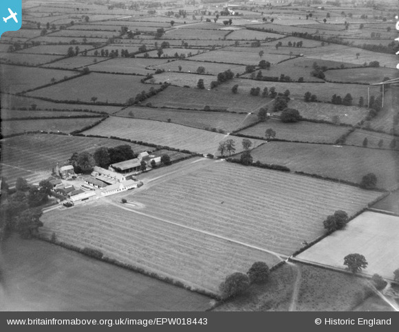
EPW018443 ENGLAND (1927). Burton Fields Farm and environs, Stretton Baskerville, from the south-east, 1927
© Copyright OpenStreetMap contributors and licensed by the OpenStreetMap Foundation. 2025. Cartography is licensed as CC BY-SA.
Details
| Title | [EPW018443] Burton Fields Farm and environs, Stretton Baskerville, from the south-east, 1927 |
| Reference | EPW018443 |
| Date | July-1927 |
| Link | |
| Place name | STRETTON BASKERVILLE |
| Parish | BURTON HASTINGS |
| District | |
| Country | ENGLAND |
| Easting / Northing | 442170, 290658 |
| Longitude / Latitude | -1.3785552348196, 52.511812810051 |
| National Grid Reference | SP422907 |
Pins
Be the first to add a comment to this image!