
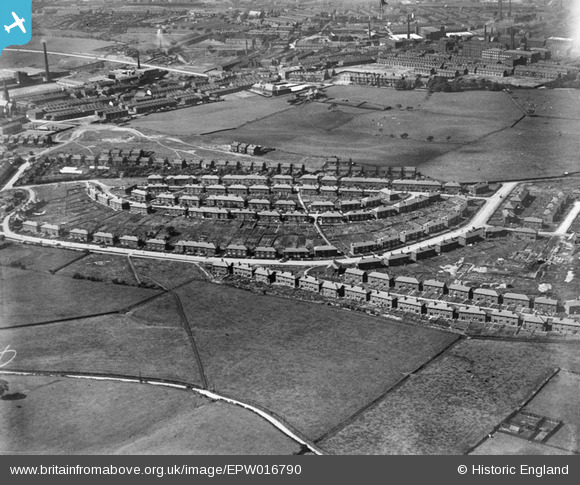
EPW016790 ENGLAND (1926). The Turf Hill Estate, Rochdale, 1926
© Copyright OpenStreetMap contributors and licensed by the OpenStreetMap Foundation. 2025. Cartography is licensed as CC BY-SA.
Details
| Title | [EPW016790] The Turf Hill Estate, Rochdale, 1926 |
| Reference | EPW016790 |
| Date | August-1926 |
| Link | |
| Place name | ROCHDALE |
| Parish | |
| District | |
| Country | ENGLAND |
| Easting / Northing | 391033, 411685 |
| Longitude / Latitude | -2.135519270794, 53.601416239632 |
| National Grid Reference | SD910117 |
Pins
 HILLARY |
Saturday 16th of May 2015 03:26:00 PM | |
HILLARY |
Saturday 16th of May 2015 01:28:13 PM | |
HILLARY |
Saturday 16th of May 2015 01:25:41 PM | |
Mikeya |
Thursday 24th of July 2014 02:34:02 PM | |
Mikeya |
Thursday 24th of July 2014 02:33:20 PM | |
Mikeya |
Thursday 24th of July 2014 02:32:20 PM | |
Mikeya |
Thursday 24th of July 2014 02:31:16 PM | |
Mikeya |
Thursday 24th of July 2014 02:28:27 PM | |
Mikeya |
Sunday 6th of April 2014 11:05:25 AM |