
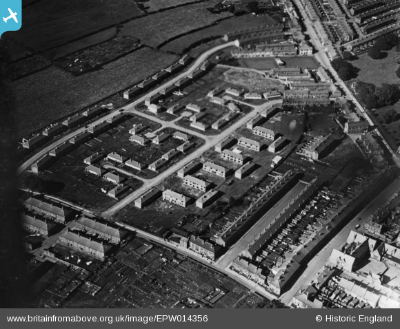
EPW014356 ENGLAND (1925). New housing around Peel Street, Carlisle, 1925. This image has been produced from a print.
© Copyright OpenStreetMap contributors and licensed by the OpenStreetMap Foundation. 2026. Cartography is licensed as CC BY-SA.
Details
| Title | [EPW014356] New housing around Peel Street, Carlisle, 1925. This image has been produced from a print. |
| Reference | EPW014356 |
| Date | 24-September-1925 |
| Link | |
| Place name | CARLISLE |
| Parish | |
| District | |
| Country | ENGLAND |
| Easting / Northing | 338883, 555716 |
| Longitude / Latitude | -2.9529805330308, 54.892355245642 |
| National Grid Reference | NY389557 |
Pins
Be the first to add a comment to this image!