
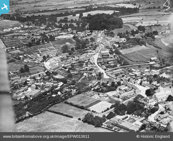
EPW013611 ENGLAND (1925). The town, Fordingbridge, 1925. This image has been produced from a copy-negative.
© Copyright OpenStreetMap contributors and licensed by the OpenStreetMap Foundation. 2026. Cartography is licensed as CC BY-SA.
Details
| Title | [EPW013611] The town, Fordingbridge, 1925. This image has been produced from a copy-negative. |
| Reference | EPW013611 |
| Date | June-1925 |
| Link | |
| Place name | FORDINGBRIDGE |
| Parish | FORDINGBRIDGE |
| District | |
| Country | ENGLAND |
| Easting / Northing | 414612, 114100 |
| Longitude / Latitude | -1.7920738778645, 50.92561948684 |
| National Grid Reference | SU146141 |
Pins
Be the first to add a comment to this image!