
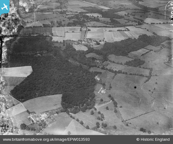
EPW013593 ENGLAND (1925). Rifle ranges near Squabb Wood, Roke Manor, from the south, 1925
© Copyright OpenStreetMap contributors and licensed by the OpenStreetMap Foundation. 2026. Cartography is licensed as CC BY-SA.
Details
| Title | [EPW013593] Rifle ranges near Squabb Wood, Roke Manor, from the south, 1925 |
| Reference | EPW013593 |
| Date | June-1925 |
| Link | |
| Place name | ROKE MANOR |
| Parish | ROMSEY EXTRA |
| District | |
| Country | ENGLAND |
| Easting / Northing | 433755, 121375 |
| Longitude / Latitude | -1.5190048135384, 50.990241023848 |
| National Grid Reference | SU338214 |
Pins
Be the first to add a comment to this image!