
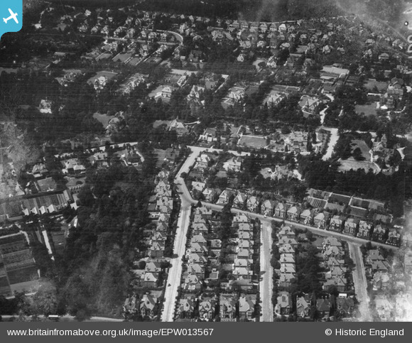
EPW013567 ENGLAND (1925). Herbert Road and environs, Bournemouth, 1925
© Copyright OpenStreetMap contributors and licensed by the OpenStreetMap Foundation. 2025. Cartography is licensed as CC BY-SA.
Details
| Title | [EPW013567] Herbert Road and environs, Bournemouth, 1925 |
| Reference | EPW013567 |
| Date | June-1925 |
| Link | |
| Place name | BOURNEMOUTH |
| Parish | |
| District | |
| Country | ENGLAND |
| Easting / Northing | 406647, 90742 |
| Longitude / Latitude | -1.9058375636286, 50.715695155542 |
| National Grid Reference | SZ066907 |
Pins

Class31 |
Tuesday 7th of August 2012 02:33:50 PM | |
|
Class31 |
Tuesday 7th of August 2012 02:33:02 PM | |
|
Class31 |
Tuesday 7th of August 2012 02:32:24 PM | |
|
Class31 |
Tuesday 7th of August 2012 02:31:51 PM | |
|
Class31 |
Tuesday 7th of August 2012 02:31:26 PM | |

Dave Brunt |
Saturday 14th of July 2012 07:18:00 PM | |
Hi Dave, That's great, we'll update the catalogue with the Bournemouth lcoation and post the correct information here in due course. Good job, thanks. Yours, Katy Britain from Above Cataloging Team Leader |
Katy Whitaker |
Tuesday 23rd of October 2012 03:07:52 PM |
|
BigglesH |
Saturday 30th of June 2012 03:17:27 AM |
User Comment Contributions
View looking west. |
Class31 |
Tuesday 7th of August 2012 02:38:38 PM |
Stockbroker belt? Suburbia. Large Victoria/Edwardian houses neatly set up. Some larger individual ones. |
EastMarple1 |
Saturday 30th of June 2012 09:33:11 AM |