
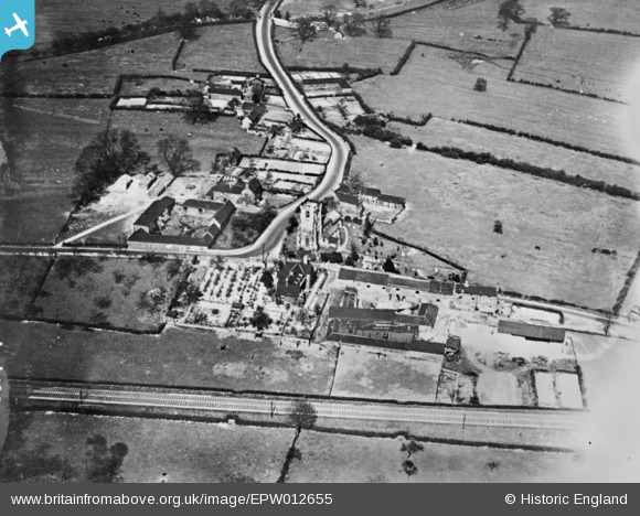
EPW012655 ENGLAND (1925). St Helen's Church and the village, Trowell, 1925. This image has been produced from a copy-negative.
© Copyright OpenStreetMap contributors and licensed by the OpenStreetMap Foundation. 2026. Cartography is licensed as CC BY-SA.
Details
| Title | [EPW012655] St Helen's Church and the village, Trowell, 1925. This image has been produced from a copy-negative. |
| Reference | EPW012655 |
| Date | April-1925 |
| Link | |
| Place name | TROWELL |
| Parish | TROWELL |
| District | |
| Country | ENGLAND |
| Easting / Northing | 448356, 339733 |
| Longitude / Latitude | -1.280171164725, 52.952479450403 |
| National Grid Reference | SK484397 |
Pins
Be the first to add a comment to this image!