
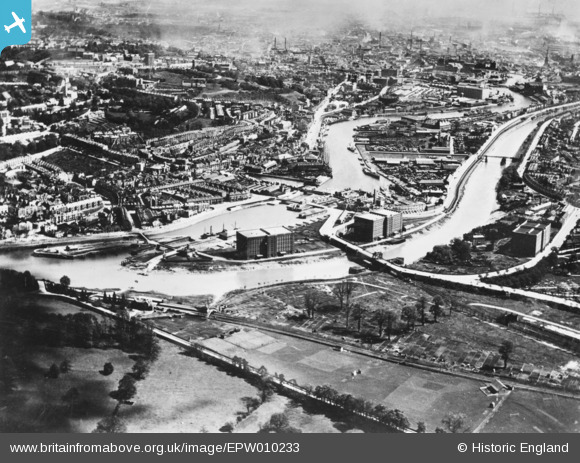
EPW010233 ENGLAND (1924). Ashton Swing Bridge, Cumberland Basin and the city, Bristol, from the south-west, 1924. This image has been produced from a copy-negative.
© Copyright OpenStreetMap contributors and licensed by the OpenStreetMap Foundation. 2025. Cartography is licensed as CC BY-SA.
Details
| Title | [EPW010233] Ashton Swing Bridge, Cumberland Basin and the city, Bristol, from the south-west, 1924. This image has been produced from a copy-negative. |
| Reference | EPW010233 |
| Date | April-1924 |
| Link | |
| Place name | BRISTOL |
| Parish | |
| District | |
| Country | ENGLAND |
| Easting / Northing | 356635, 172058 |
| Longitude / Latitude | -2.6240579754858, 51.445359485426 |
| National Grid Reference | ST566721 |
Pins
Be the first to add a comment to this image!