
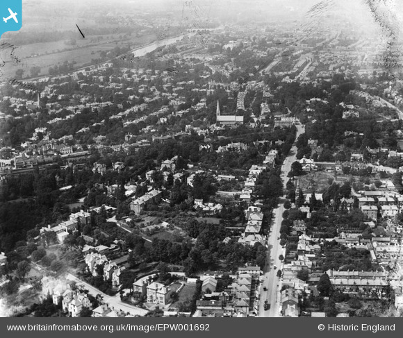
EPW001692 ENGLAND (1920). Ewell Road area looking towards the Thames and Kingston Bridge, Surbiton, 1920
© Copyright OpenStreetMap contributors and licensed by the OpenStreetMap Foundation. 2026. Cartography is licensed as CC BY-SA.
Details
| Title | [EPW001692] Ewell Road area looking towards the Thames and Kingston Bridge, Surbiton, 1920 |
| Reference | EPW001692 |
| Date | June-1920 |
| Link | |
| Place name | SURBITON |
| Parish | |
| District | |
| Country | ENGLAND |
| Easting / Northing | 518352, 167382 |
| Longitude / Latitude | -0.29872876328728, 51.392621632699 |
| National Grid Reference | TQ184674 |
Pins

yes |
Friday 14th of February 2025 11:29:08 PM | |
|
UPONTHAMES |
Thursday 9th of June 2022 08:20:30 PM | |
|
waveform |
Friday 21st of August 2020 08:22:34 PM | |
|
Keith |
Monday 6th of October 2014 05:10:57 PM | |
|
Pip |
Thursday 2nd of January 2014 03:15:06 PM | |
|
Pip |
Thursday 2nd of January 2014 03:07:55 PM | |
|
Keith |
Friday 6th of July 2012 01:20:15 PM | |
|
Keith |
Friday 6th of July 2012 01:19:29 PM | |

Jon |
Sunday 1st of July 2012 07:07:10 PM | |
|
Keith |
Saturday 30th of June 2012 07:54:59 AM | |
|
Keith |
Saturday 30th of June 2012 07:53:56 AM | |
|
Keith |
Saturday 30th of June 2012 07:53:19 AM | |
|
Keith |
Saturday 30th of June 2012 07:51:34 AM |