
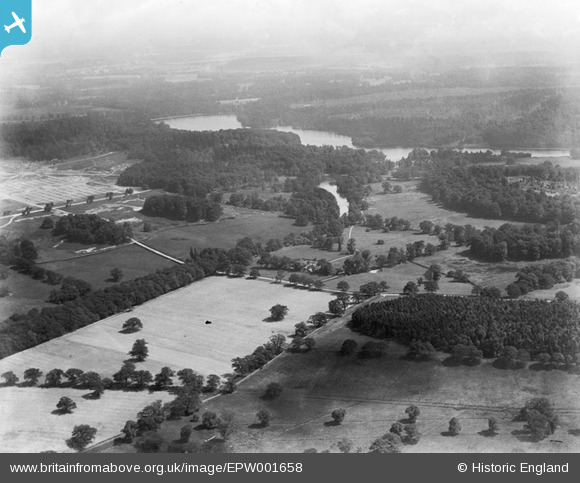
EPW001658 ENGLAND (1920). Johnsons Pond area, Virginia Water, from the north, 1920
© Copyright OpenStreetMap contributors and licensed by the OpenStreetMap Foundation. 2025. Cartography is licensed as CC BY-SA.
Details
| Title | [EPW001658] Johnsons Pond area, Virginia Water, from the north, 1920 |
| Reference | EPW001658 |
| Date | June-1920 |
| Link | |
| Place name | VIRGINIA WATER |
| Parish | OLD WINDSOR |
| District | |
| Country | ENGLAND |
| Easting / Northing | 496073, 170414 |
| Longitude / Latitude | -0.6180488909011, 51.42409032972 |
| National Grid Reference | SU961704 |
Pins
Be the first to add a comment to this image!