
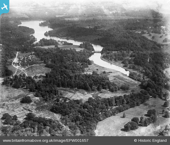
EPW001657 ENGLAND (1920). View over High Bridge, Virginia Water, 1920
© Copyright OpenStreetMap contributors and licensed by the OpenStreetMap Foundation. 2025. Cartography is licensed as CC BY-SA.
Details
| Title | [EPW001657] View over High Bridge, Virginia Water, 1920 |
| Reference | EPW001657 |
| Date | June-1920 |
| Link | |
| Place name | VIRGINIA WATER |
| Parish | OLD WINDSOR |
| District | |
| Country | ENGLAND |
| Easting / Northing | 495671, 169345 |
| Longitude / Latitude | -0.6241182430783, 51.4145479992 |
| National Grid Reference | SU957693 |
Pins
Be the first to add a comment to this image!
User Comment Contributions
High Bridge? This is The Five Arch Bridge, Virginia Water, designed by Sir Jeffry Wyatville, and completed in 1827 |

Thamesweb |
Friday 29th of June 2012 08:09:01 PM |