
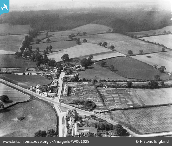
EPW001628 ENGLAND (1920). View of Black Horse Lane from St Giles's Church, South Mimms, from the south, 1920
© Copyright OpenStreetMap contributors and licensed by the OpenStreetMap Foundation. 2025. Cartography is licensed as CC BY-SA.
Details
| Title | [EPW001628] View of Black Horse Lane from St Giles's Church, South Mimms, from the south, 1920 |
| Reference | EPW001628 |
| Date | June-1920 |
| Link | |
| Place name | SOUTH MIMMS |
| Parish | SOUTH MIMMS |
| District | |
| Country | ENGLAND |
| Easting / Northing | 522200, 201288 |
| Longitude / Latitude | -0.2316654810004, 51.696559063265 |
| National Grid Reference | TL222013 |
Pins

Jurek |
Monday 22nd of May 2023 08:02:48 PM |