
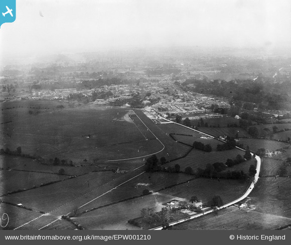
EPW001210 ENGLAND (1920). View over Warwick Racecourse, Warwick, from the south-west, 1920
© Copyright OpenStreetMap contributors and licensed by the OpenStreetMap Foundation. 2026. Cartography is licensed as CC BY-SA.
Details
| Title | [EPW001210] View over Warwick Racecourse, Warwick, from the south-west, 1920 |
| Reference | EPW001210 |
| Date | May-1920 |
| Link | |
| Place name | WARWICK |
| Parish | WARWICK |
| District | |
| Country | ENGLAND |
| Easting / Northing | 427086, 264211 |
| Longitude / Latitude | -1.6029750001319, 52.274988338563 |
| National Grid Reference | SP271642 |
Pins

Sharon |
Sunday 16th of February 2025 04:48:04 AM |