
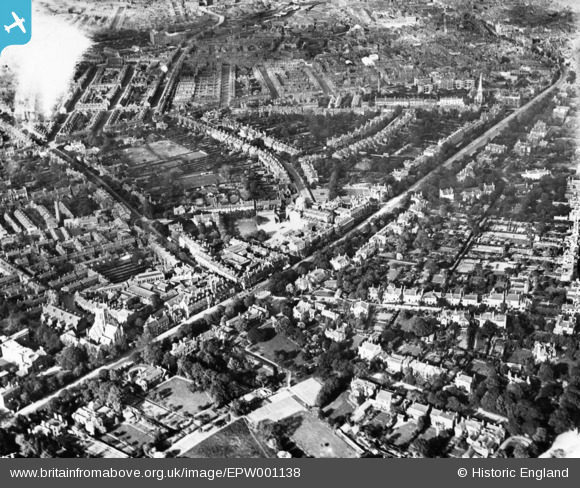
EPW001138 ENGLAND (1920). Hagley Road and environs, Ladywood, 1920. This image has been produced from a print.
© Copyright OpenStreetMap contributors and licensed by the OpenStreetMap Foundation. 2026. Cartography is licensed as CC BY-SA.
Details
| Title | [EPW001138] Hagley Road and environs, Ladywood, 1920. This image has been produced from a print. |
| Reference | EPW001138 |
| Date | May-1920 |
| Link | |
| Place name | LADYWOOD |
| Parish | |
| District | |
| Country | ENGLAND |
| Easting / Northing | 404897, 286048 |
| Longitude / Latitude | -1.9279001402779, 52.471973941436 |
| National Grid Reference | SP049860 |
