
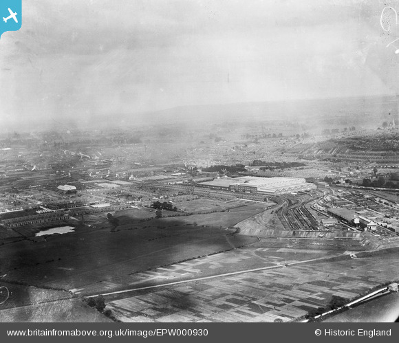
EPW000930 ENGLAND (1920). Mannington and the Great Western Railway Works, Swindon, from the north-west, 1920
© Copyright OpenStreetMap contributors and licensed by the OpenStreetMap Foundation. 2026. Cartography is licensed as CC BY-SA.
Details
| Title | [EPW000930] Mannington and the Great Western Railway Works, Swindon, from the north-west, 1920 |
| Reference | EPW000930 |
| Date | May-1920 |
| Link | |
| Place name | SWINDON |
| Parish | |
| District | |
| Country | ENGLAND |
| Easting / Northing | 413048, 184730 |
| Longitude / Latitude | -1.8117541806898, 51.56082228769 |
| National Grid Reference | SU130847 |
Pins

sallyc10 |
Wednesday 25th of March 2026 08:21:31 PM | |
|
sallyc10 |
Wednesday 25th of March 2026 08:08:29 PM | |
|
NottmJas |
Saturday 16th of September 2023 09:12:26 PM | |
|
NottmJas |
Saturday 16th of September 2023 09:11:30 PM | |
|
NottmJas |
Friday 26th of June 2020 09:00:46 PM | |
|
NottmJas |
Friday 26th of June 2020 08:58:21 PM | |
|
NottmJas |
Friday 26th of June 2020 08:57:21 PM | |
|
gBr |
Tuesday 6th of October 2015 09:48:47 PM | |
|
Gordy |
Saturday 26th of January 2013 06:22:07 PM | |
|
Gordy |
Saturday 26th of January 2013 01:04:27 AM | |

Class31 |
Monday 22nd of October 2012 09:02:25 AM | |
|
Class31 |
Monday 22nd of October 2012 09:01:40 AM | |
|
Class31 |
Monday 22nd of October 2012 09:01:06 AM | |
|
Loopykells |
Monday 9th of July 2012 07:44:53 PM | |
Midland & South Western Junction, NOT South West. |
gBr |
Tuesday 6th of October 2015 09:47:21 PM |
|
Darren Wheatley |
Tuesday 26th of June 2012 05:16:22 PM |
User Comment Contributions
The body of water on the left side of the photograph was clay pits for the brick works at the bottom of Morris Street. The works were owned originally by Hills of Marlborough but later purchased by W. G. Blake & sons of Rodbourne Road in the late 1920's. The purpose of the purchase was to demolish the chimney etc so Blake's could use the bricks to build local housing. |
Gordy |
Saturday 26th of May 2012 08:21:45 PM |