
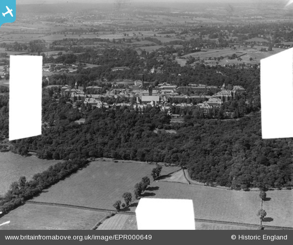
EPR000649 ENGLAND (1935). Claybury Mental Hospital, Fairlop, from the south, 1935. This image was marked by Aero Pictorial Ltd for photo editing.
© Copyright OpenStreetMap contributors and licensed by the OpenStreetMap Foundation. 2026. Cartography is licensed as CC BY-SA.
Details
| Title | [EPR000649] Claybury Mental Hospital, Fairlop, from the south, 1935. This image was marked by Aero Pictorial Ltd for photo editing. |
| Reference | EPR000649 |
| Date | 22-June-1935 |
| Link | |
| Place name | FAIRLOP |
| Parish | |
| District | |
| Country | ENGLAND |
| Easting / Northing | 543364, 191035 |
| Longitude / Latitude | 0.070192272243918, 51.599414489842 |
| National Grid Reference | TQ434910 |
Pins
Be the first to add a comment to this image!