
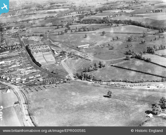
EPR000581 ENGLAND (1935). Stratford-upon-Avon Steeplechase Course, Stratford-upon-Avon, from the south-west, 1935
© Copyright OpenStreetMap contributors and licensed by the OpenStreetMap Foundation. 2025. Cartography is licensed as CC BY-SA.
Details
| Title | [EPR000581] Stratford-upon-Avon Steeplechase Course, Stratford-upon-Avon, from the south-west, 1935 |
| Reference | EPR000581 |
| Date | 11-May-1935 |
| Link | |
| Place name | STRATFORD-UPON-AVON |
| Parish | STRATFORD-UPON-AVON |
| District | |
| Country | ENGLAND |
| Easting / Northing | 418512, 253901 |
| Longitude / Latitude | -1.7292148767009, 52.182643793744 |
| National Grid Reference | SP185539 |
Pins
 gerry-r |
Saturday 3rd of August 2024 08:06:04 PM | |
gBr |
Tuesday 6th of October 2015 11:36:52 PM | |
gBr |
Tuesday 6th of October 2015 11:35:29 PM | |
gBr |
Tuesday 6th of October 2015 11:30:27 PM |