
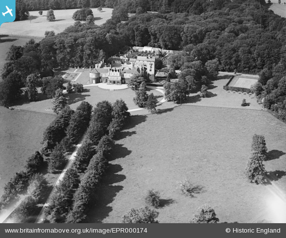
EPR000174 ENGLAND (1934). Lucknam Park, Colerne, 1934
© Copyright OpenStreetMap contributors and licensed by the OpenStreetMap Foundation. 2026. Cartography is licensed as CC BY-SA.
Details
| Title | [EPR000174] Lucknam Park, Colerne, 1934 |
| Reference | EPR000174 |
| Date | 9-July-1934 |
| Link | |
| Place name | COLERNE |
| Parish | COLERNE |
| District | |
| Country | ENGLAND |
| Easting / Northing | 382069, 172849 |
| Longitude / Latitude | -2.2580887434336, 51.453849388508 |
| National Grid Reference | ST821728 |
Pins
Be the first to add a comment to this image!