
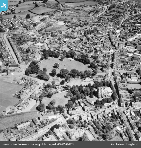
EAW056420 ENGLAND (1954). Cae Glas Park, St Oswald's Church and environs, Oswestry, 1954
© Copyright OpenStreetMap contributors and licensed by the OpenStreetMap Foundation. 2026. Cartography is licensed as CC BY-SA.
Details
| Title | [EAW056420] Cae Glas Park, St Oswald's Church and environs, Oswestry, 1954 |
| Reference | EAW056420 |
| Date | 14-August-1954 |
| Link | |
| Place name | OSWESTRY |
| Parish | OSWESTRY |
| District | |
| Country | ENGLAND |
| Easting / Northing | 328824, 329504 |
| Longitude / Latitude | -3.0572339582645, 52.857990347909 |
| National Grid Reference | SJ288295 |
Pins

sivartd |
Saturday 24th of September 2022 06:26:38 PM |