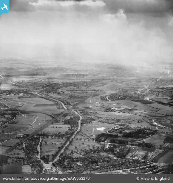
EAW053276 ENGLAND (1954). Walsall Road, Pelsall Common and environs, Heath End, from the north, 1954
© Copyright OpenStreetMap contributors and licensed by the OpenStreetMap Foundation. 2026. Cartography is licensed as CC BY-SA.
Details
| Title | [EAW053276] Walsall Road, Pelsall Common and environs, Heath End, from the north, 1954 |
| Reference | EAW053276 |
| Date | 26-March-1954 |
| Link | |
| Place name | HEATH END |
| Parish | |
| District | |
| Country | ENGLAND |
| Easting / Northing | 402255, 302560 |
| Longitude / Latitude | -1.9666868015304, 52.620449080821 |
| National Grid Reference | SK023026 |
Pins

Billytee |
Saturday 4th of October 2025 08:52:52 PM | |

Billytee |
Saturday 4th of October 2025 08:48:56 PM | |

markyy |
Sunday 14th of November 2021 02:15:04 PM | |

curnock |
Saturday 2nd of March 2019 09:12:31 PM | |

KevTheBusDriver |
Friday 1st of January 2016 07:26:30 PM | |

KevTheBusDriver |
Friday 1st of January 2016 07:20:48 PM | |

KevTheBusDriver |
Friday 1st of January 2016 07:17:25 PM | |

KevTheBusDriver |
Friday 1st of January 2016 07:15:02 PM | |

KevTheBusDriver |
Friday 1st of January 2016 07:11:43 PM | |

KevTheBusDriver |
Friday 1st of January 2016 07:10:19 PM | |

KevTheBusDriver |
Friday 1st of January 2016 07:08:31 PM | |

KevTheBusDriver |
Friday 1st of January 2016 07:06:33 PM |

