
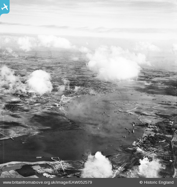
EAW052579 ENGLAND (1953). St Clement's Reach and the surrounding area, Stone Ness, from the west, 1953
© Copyright OpenStreetMap contributors and licensed by the OpenStreetMap Foundation. 2026. Cartography is licensed as CC BY-SA.
Details
| Title | [EAW052579] St Clement's Reach and the surrounding area, Stone Ness, from the west, 1953 |
| Reference | EAW052579 |
| Date | 5-October-1953 |
| Link | |
| Place name | STONE NESS |
| Parish | |
| District | |
| Country | ENGLAND |
| Easting / Northing | 558578, 175972 |
| Longitude / Latitude | 0.28292187250521, 51.459990744538 |
| National Grid Reference | TQ586760 |
Pins
Be the first to add a comment to this image!