
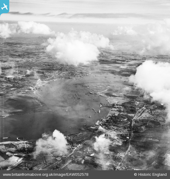
EAW052578 ENGLAND (1953). St Clement's Reach and the surrounding area, Stone, from the west, 1953
© Copyright OpenStreetMap contributors and licensed by the OpenStreetMap Foundation. 2026. Cartography is licensed as CC BY-SA.
Details
| Title | [EAW052578] St Clement's Reach and the surrounding area, Stone, from the west, 1953 |
| Reference | EAW052578 |
| Date | 5-October-1953 |
| Link | |
| Place name | STONE |
| Parish | STONE |
| District | |
| Country | ENGLAND |
| Easting / Northing | 558173, 175250 |
| Longitude / Latitude | 0.27677342034671, 51.45361656708 |
| National Grid Reference | TQ582753 |
Pins

Dylan Moore |
Monday 17th of November 2014 02:49:19 PM | |
|
Dylan Moore |
Monday 17th of November 2014 02:48:25 PM | |
|
Dylan Moore |
Monday 17th of November 2014 02:47:42 PM | |
|
Dylan Moore |
Monday 17th of November 2014 02:46:43 PM |