
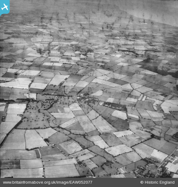
EAW052077 ENGLAND (1953). The village and the surrounding countryside, Barnoldby le Beck, from the south-east, 1953
© Copyright OpenStreetMap contributors and licensed by the OpenStreetMap Foundation. 2025. Cartography is licensed as CC BY-SA.
Details
| Title | [EAW052077] The village and the surrounding countryside, Barnoldby le Beck, from the south-east, 1953 |
| Reference | EAW052077 |
| Date | 7-September-1953 |
| Link | |
| Place name | BARNOLDBY LE BECK |
| Parish | BARNOLDBY LE BECK |
| District | |
| Country | ENGLAND |
| Easting / Northing | 524334, 402199 |
| Longitude / Latitude | -0.12524956139903, 53.501518083627 |
| National Grid Reference | TA243022 |
Pins
Be the first to add a comment to this image!