
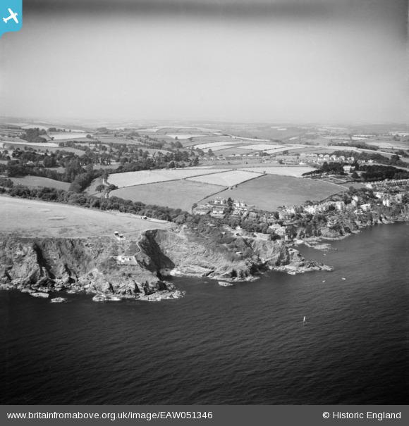
EAW051346 ENGLAND (1953). St Catherine's Point, Readymoney and the surrounding area, Fowey, from the south, 1953
© Copyright OpenStreetMap contributors and licensed by the OpenStreetMap Foundation. 2025. Cartography is licensed as CC BY-SA.
Details
| Title | [EAW051346] St Catherine's Point, Readymoney and the surrounding area, Fowey, from the south, 1953 |
| Reference | EAW051346 |
| Date | 11-August-1953 |
| Link | |
| Place name | FOWEY |
| Parish | FOWEY |
| District | |
| Country | ENGLAND |
| Easting / Northing | 211774, 50853 |
| Longitude / Latitude | -4.6447935967784, 50.326886956877 |
| National Grid Reference | SX118509 |
