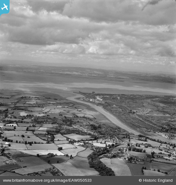
EAW050533 ENGLAND (1953). The River Avon and the Bristol Channel, Pill, from the south-east, 1953
© Copyright OpenStreetMap contributors and licensed by the OpenStreetMap Foundation. 2026. Cartography is licensed as CC BY-SA.
Details
| Title | [EAW050533] The River Avon and the Bristol Channel, Pill, from the south-east, 1953 |
| Reference | EAW050533 |
| Date | 9-July-1953 |
| Link | |
| Place name | PILL |
| Parish | EASTON-IN-GORDANO |
| District | |
| Country | ENGLAND |
| Easting / Northing | 352534, 175610 |
| Longitude / Latitude | -2.68354739858, 51.47696984853 |
| National Grid Reference | ST525756 |
Pins

JKF |
Saturday 4th of November 2017 08:15:29 PM |

