
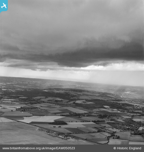
EAW050523 ENGLAND (1953). Storm-clouds west of Maidenhead, White Waltham, from the south-east, 1953
© Copyright OpenStreetMap contributors and licensed by the OpenStreetMap Foundation. 2025. Cartography is licensed as CC BY-SA.
Details
| Title | [EAW050523] Storm-clouds west of Maidenhead, White Waltham, from the south-east, 1953 |
| Reference | EAW050523 |
| Date | 9-July-1953 |
| Link | |
| Place name | WHITE WALTHAM |
| Parish | WHITE WALTHAM |
| District | |
| Country | ENGLAND |
| Easting / Northing | 484645, 179256 |
| Longitude / Latitude | -0.78027322077676, 51.505407002921 |
| National Grid Reference | SU846793 |
Pins

Pilot |
Friday 22nd of July 2016 07:03:33 PM | |
|
flubber |
Monday 8th of September 2014 01:07:38 PM |