
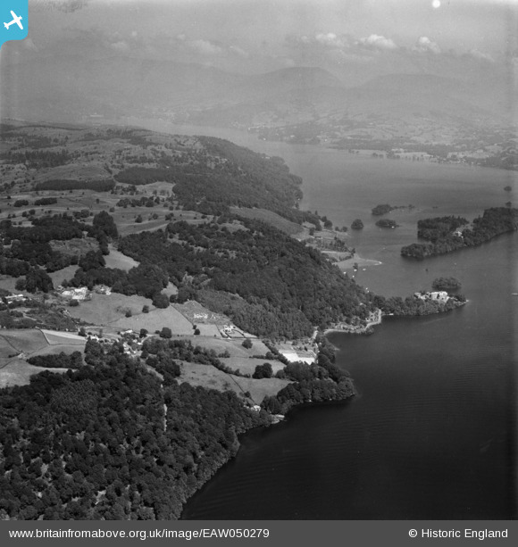
EAW050279 ENGLAND (1953). Station Scar Wood and environs, Far Sawrey, from the south, 1953
© Copyright OpenStreetMap contributors and licensed by the OpenStreetMap Foundation. 2026. Cartography is licensed as CC BY-SA.
Details
| Title | [EAW050279] Station Scar Wood and environs, Far Sawrey, from the south, 1953 |
| Reference | EAW050279 |
| Date | 29-June-1953 |
| Link | |
| Place name | FAR SAWREY |
| Parish | CLAIFE |
| District | |
| Country | ENGLAND |
| Easting / Northing | 338641, 495037 |
| Longitude / Latitude | -2.9440437472073, 54.347030916482 |
| National Grid Reference | SD386950 |
Pins

Peter Hoggarth |
Wednesday 22nd of October 2014 06:23:22 PM |