
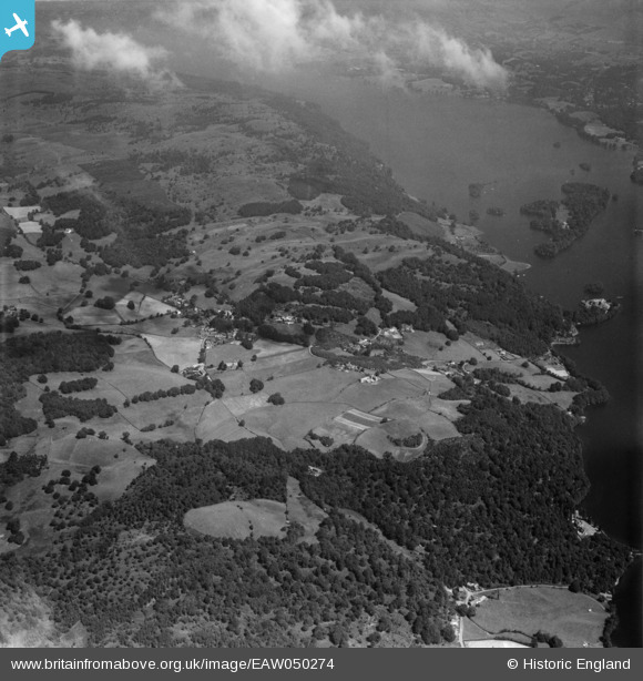
EAW050274 ENGLAND (1953). The Claife Heights above Windermere, Far Sawrey, 1953
© Copyright OpenStreetMap contributors and licensed by the OpenStreetMap Foundation. 2026. Cartography is licensed as CC BY-SA.
Details
| Title | [EAW050274] The Claife Heights above Windermere, Far Sawrey, 1953 |
| Reference | EAW050274 |
| Date | 29-June-1953 |
| Link | |
| Place name | FAR SAWREY |
| Parish | CLAIFE |
| District | |
| Country | ENGLAND |
| Easting / Northing | 338107, 495337 |
| Longitude / Latitude | -2.9523207304111, 54.349662463875 |
| National Grid Reference | SD381953 |
Pins

Peter Hoggarth |
Wednesday 22nd of October 2014 06:21:29 PM | |
|
Peter Hoggarth |
Wednesday 22nd of October 2014 06:20:52 PM | |
|
Peter Hoggarth |
Wednesday 22nd of October 2014 06:18:57 PM | |
|
Peter Hoggarth |
Wednesday 22nd of October 2014 06:17:14 PM |