
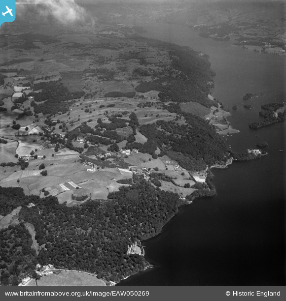
EAW050269 ENGLAND (1953). The Claife Heights above Windermere, Far Sawrey, 1953
© Copyright OpenStreetMap contributors and licensed by the OpenStreetMap Foundation. 2026. Cartography is licensed as CC BY-SA.
Details
| Title | [EAW050269] The Claife Heights above Windermere, Far Sawrey, 1953 |
| Reference | EAW050269 |
| Date | 29-June-1953 |
| Link | |
| Place name | FAR SAWREY |
| Parish | CLAIFE |
| District | |
| Country | ENGLAND |
| Easting / Northing | 338371, 495378 |
| Longitude / Latitude | -2.9482677779493, 54.350062907695 |
| National Grid Reference | SD384954 |
Pins

Peter Hoggarth |
Sunday 19th of October 2014 06:06:24 PM | |
|
Peter Hoggarth |
Sunday 19th of October 2014 06:05:38 PM | |
|
Peter Hoggarth |
Sunday 19th of October 2014 06:04:44 PM | |
|
Peter Hoggarth |
Sunday 19th of October 2014 06:02:44 PM | |
|
Peter Hoggarth |
Sunday 19th of October 2014 06:01:34 PM |