
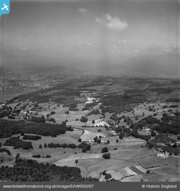
EAW050267 ENGLAND (1953). The Colthouse and Claife Heights above Windermere, Far Sawrey, from the south, 1953
© Copyright OpenStreetMap contributors and licensed by the OpenStreetMap Foundation. 2026. Cartography is licensed as CC BY-SA.
Details
| Title | [EAW050267] The Colthouse and Claife Heights above Windermere, Far Sawrey, from the south, 1953 |
| Reference | EAW050267 |
| Date | 29-June-1953 |
| Link | |
| Place name | FAR SAWREY |
| Parish | CLAIFE |
| District | |
| Country | ENGLAND |
| Easting / Northing | 337777, 495174 |
| Longitude / Latitude | -2.9573634638219, 54.348157428433 |
| National Grid Reference | SD378952 |
Pins

Peter Hoggarth |
Wednesday 22nd of October 2014 06:14:11 PM | |
|
Peter Hoggarth |
Sunday 19th of October 2014 05:59:22 PM | |
|
Peter Hoggarth |
Sunday 19th of October 2014 05:55:20 PM | |
|
Peter Hoggarth |
Sunday 19th of October 2014 05:54:03 PM | |
|
Peter Hoggarth |
Sunday 19th of October 2014 05:53:10 PM | |
|
Peter Hoggarth |
Sunday 19th of October 2014 05:51:49 PM |