
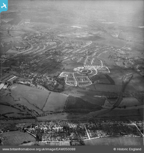
EAW050088 ENGLAND (1953). Kennington Junction and the Rose Hill area, Kennington, from the west, 1953
© Copyright OpenStreetMap contributors and licensed by the OpenStreetMap Foundation. 2025. Cartography is licensed as CC BY-SA.
Details
| Title | [EAW050088] Kennington Junction and the Rose Hill area, Kennington, from the west, 1953 |
| Reference | EAW050088 |
| Date | 26-June-1953 |
| Link | |
| Place name | KENNINGTON |
| Parish | KENNINGTON |
| District | |
| Country | ENGLAND |
| Easting / Northing | 452443, 203138 |
| Longitude / Latitude | -1.2406691415171, 51.724050080081 |
| National Grid Reference | SP524031 |
Pins
Be the first to add a comment to this image!