
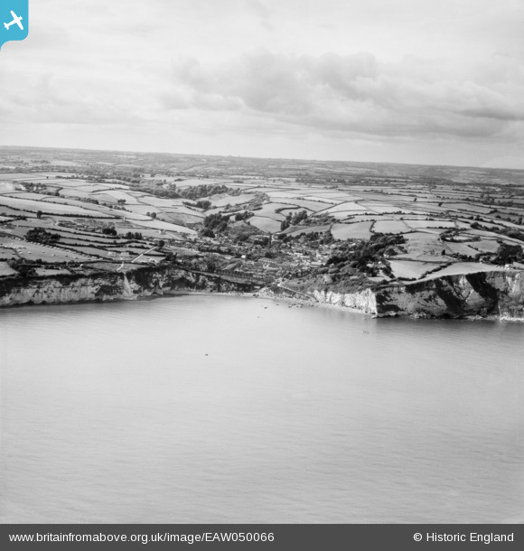
EAW050066 ENGLAND (1953). The town and surrounding countryside, Beer, from the south-east, 1953
© Copyright OpenStreetMap contributors and licensed by the OpenStreetMap Foundation. 2026. Cartography is licensed as CC BY-SA.
Details
| Title | [EAW050066] The town and surrounding countryside, Beer, from the south-east, 1953 |
| Reference | EAW050066 |
| Date | 25-June-1953 |
| Link | |
| Place name | BEER |
| Parish | BEER |
| District | |
| Country | ENGLAND |
| Easting / Northing | 323198, 88799 |
| Longitude / Latitude | -3.087481041757, 50.693185946047 |
| National Grid Reference | SY232888 |
Pins
Allen T |
Saturday 2nd of August 2014 09:54:56 PM |