
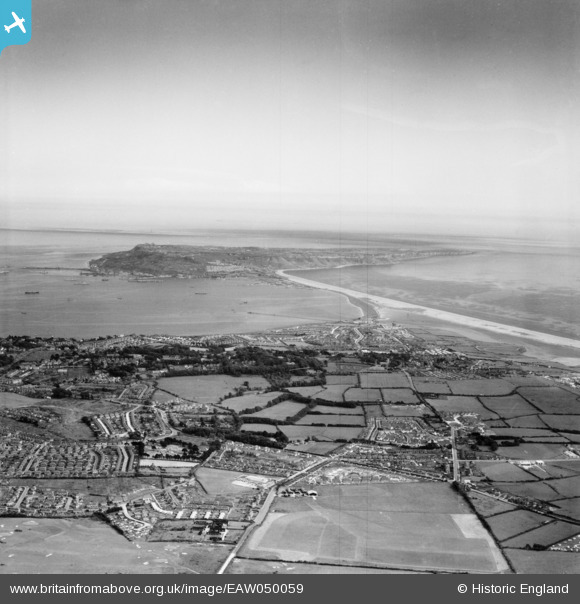
EAW050059 ENGLAND (1953). Westham and Portland Harbour, Weymouth, from the north, 1953
© Copyright OpenStreetMap contributors and licensed by the OpenStreetMap Foundation. 2026. Cartography is licensed as CC BY-SA.
Details
| Title | [EAW050059] Westham and Portland Harbour, Weymouth, from the north, 1953 |
| Reference | EAW050059 |
| Date | 25-June-1953 |
| Link | |
| Place name | WEYMOUTH |
| Parish | |
| District | |
| Country | ENGLAND |
| Easting / Northing | 366256, 78579 |
| Longitude / Latitude | -2.4769050725191, 50.605365492599 |
| National Grid Reference | SY663786 |
Pins

redmist |
Saturday 18th of March 2023 09:03:07 PM | |
|
redmist |
Thursday 16th of March 2023 09:49:07 PM | |
|
redmist |
Thursday 16th of March 2023 09:47:31 PM | |
|
redmist |
Thursday 16th of March 2023 04:44:19 PM | |
|
Post-war prefabs |
Monday 18th of November 2019 10:39:33 AM | |
|
ajsmith99 |
Thursday 22nd of March 2018 08:30:59 AM | |
|
ajsmith99 |
Thursday 22nd of March 2018 08:30:26 AM | |

Class31 |
Saturday 20th of September 2014 08:41:31 AM | |
|
Class31 |
Saturday 20th of September 2014 08:38:25 AM | |
|
Class31 |
Saturday 20th of September 2014 08:34:20 AM |


