
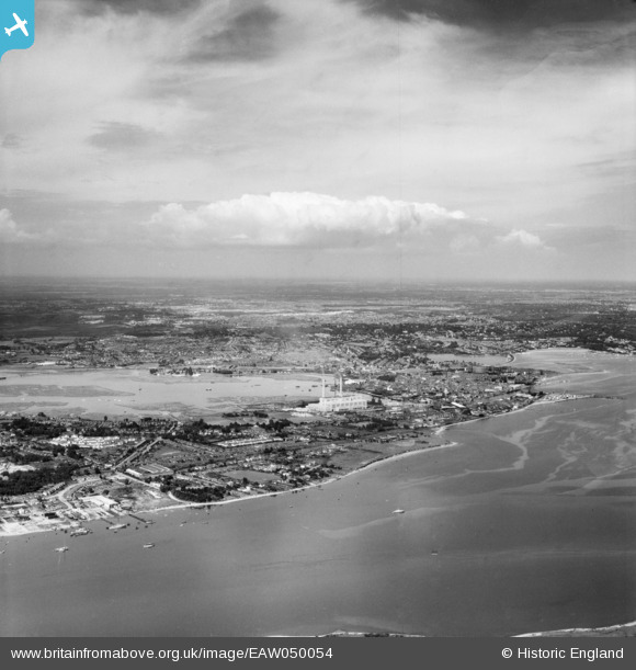
EAW050054 ENGLAND (1953). Holes Bay and the town, Poole, from the south-west, 1953
© Copyright OpenStreetMap contributors and licensed by the OpenStreetMap Foundation. 2025. Cartography is licensed as CC BY-SA.
Details
| Title | [EAW050054] Holes Bay and the town, Poole, from the south-west, 1953 |
| Reference | EAW050054 |
| Date | 18-June-1953 |
| Link | |
| Place name | POOLE |
| Parish | |
| District | |
| Country | ENGLAND |
| Easting / Northing | 399145, 90098 |
| Longitude / Latitude | -2.0121105791411, 50.709940593094 |
| National Grid Reference | SY991901 |
Pins

redmist |
Monday 25th of March 2024 08:44:27 PM | |
|
redmist |
Monday 25th of March 2024 08:38:37 PM | |
Not sure if correct, there was one at the end of Lake Road. Presumed to protect the Hamworthy boat yard building boats for the d-day invasion. Some of which became The Marine/SBS base. |
BrianM |
Sunday 28th of March 2021 09:40:28 PM |
|
BrianM |
Sunday 28th of March 2021 09:41:21 PM | |

Peter Kazmierczak |
Saturday 7th of June 2014 09:03:49 PM | |
|
Peter Kazmierczak |
Saturday 7th of June 2014 09:02:29 PM | |
|
Peter Kazmierczak |
Saturday 7th of June 2014 08:46:37 PM | |
|
Peter Kazmierczak |
Saturday 7th of June 2014 08:43:38 PM | |
|
Peter Kazmierczak |
Saturday 7th of June 2014 08:41:54 PM | |
|
Peter Kazmierczak |
Saturday 7th of June 2014 08:39:22 PM | |
|
Peter Kazmierczak |
Saturday 7th of June 2014 08:38:06 PM | |
|
Peter Kazmierczak |
Saturday 7th of June 2014 08:36:45 PM |