
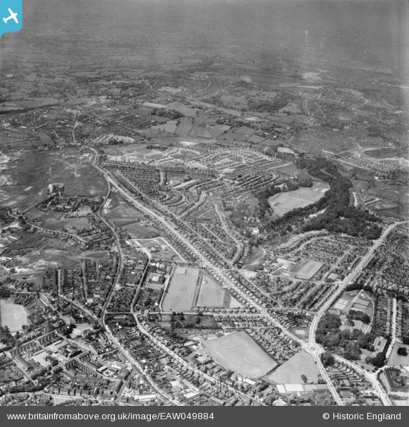
EAW049884 ENGLAND (1953). The Priory and Wren's Nest Estates, Dudley, from the south-east, 1953
© Copyright OpenStreetMap contributors and licensed by the OpenStreetMap Foundation. 2026. Cartography is licensed as CC BY-SA.
Details
| Title | [EAW049884] The Priory and Wren's Nest Estates, Dudley, from the south-east, 1953 |
| Reference | EAW049884 |
| Date | 11-June-1953 |
| Link | |
| Place name | DUDLEY |
| Parish | |
| District | |
| Country | ENGLAND |
| Easting / Northing | 393770, 290882 |
| Longitude / Latitude | -2.0918164330383, 52.515422727256 |
| National Grid Reference | SO938909 |
