
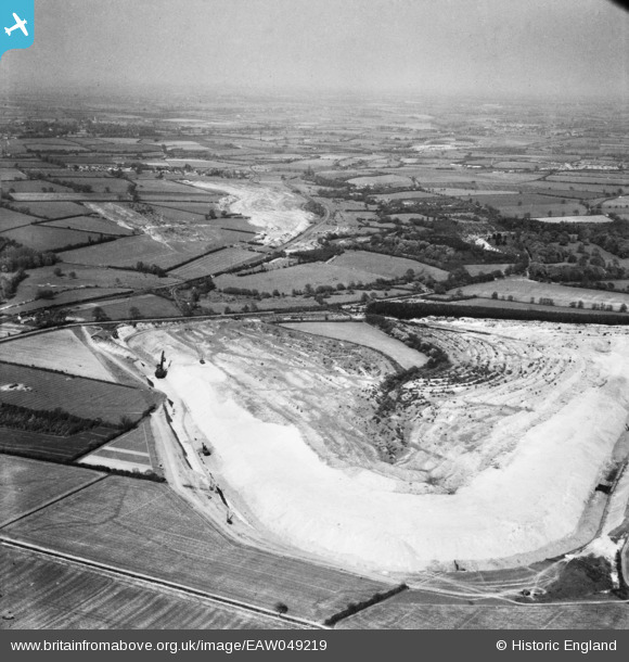
EAW049219 ENGLAND (1953). Quarrying surrounding the village, Cranford St John, from the south-west, 1953
© Copyright OpenStreetMap contributors and licensed by the OpenStreetMap Foundation. 2026. Cartography is licensed as CC BY-SA.
Details
| Title | [EAW049219] Quarrying surrounding the village, Cranford St John, from the south-west, 1953 |
| Reference | EAW049219 |
| Date | 11-May-1953 |
| Link | |
| Place name | CRANFORD ST JOHN |
| Parish | CRANFORD |
| District | |
| Country | ENGLAND |
| Easting / Northing | 492857, 276314 |
| Longitude / Latitude | -0.63575563932224, 52.37660344074 |
| National Grid Reference | SP929763 |
Pins

tdj |
Friday 6th of September 2024 05:53:43 PM |