
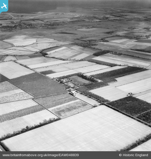
EAW048839 ENGLAND (1953). Bedford Farm and environs, Mildenhall Fen, 1953
© Copyright OpenStreetMap contributors and licensed by the OpenStreetMap Foundation. 2026. Cartography is licensed as CC BY-SA.
Details
| Title | [EAW048839] Bedford Farm and environs, Mildenhall Fen, 1953 |
| Reference | EAW048839 |
| Date | 23-April-1953 |
| Link | |
| Place name | MILDENHALL FEN |
| Parish | LAKENHEATH |
| District | |
| Country | ENGLAND |
| Easting / Northing | 568290, 282943 |
| Longitude / Latitude | 0.47495900250006, 52.418173113817 |
| National Grid Reference | TL683829 |
Pins

Matt Aldred edob.mattaldred.com |
Sunday 14th of April 2024 12:27:02 PM |