
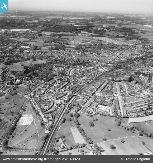
EAW048820 ENGLAND (1953). Earlswood, Redhill Common and the town, Earlswood, from the south, 1953
© Copyright OpenStreetMap contributors and licensed by the OpenStreetMap Foundation. 2026. Cartography is licensed as CC BY-SA.
Details
| Title | [EAW048820] Earlswood, Redhill Common and the town, Earlswood, from the south, 1953 |
| Reference | EAW048820 |
| Date | 26-April-1953 |
| Link | |
| Place name | EARLSWOOD |
| Parish | |
| District | |
| Country | ENGLAND |
| Easting / Northing | 527891, 149083 |
| Longitude / Latitude | -0.1682439316607, 51.226076627873 |
| National Grid Reference | TQ279491 |
Pins

Neale 67 |
Wednesday 5th of April 2023 04:58:08 PM | |
|
Steve Kulka |
Saturday 12th of March 2016 05:10:15 PM | |
|
Steve Kulka |
Saturday 12th of March 2016 05:06:20 PM | |
|
Steve Kulka |
Saturday 12th of March 2016 05:02:29 PM | |
|
John Wass |
Saturday 11th of April 2015 09:05:14 PM | |
|
John Wass |
Saturday 11th of April 2015 09:02:46 PM | |
|
John Wass |
Saturday 11th of April 2015 09:00:51 PM | |
|
John Wass |
Saturday 11th of April 2015 08:59:37 PM | |
|
John Wass |
Saturday 11th of April 2015 08:56:56 PM | |
|
John Wass |
Saturday 11th of April 2015 08:55:47 PM | |
|
John Wass |
Saturday 11th of April 2015 08:54:41 PM | |
|
John Wass |
Saturday 11th of April 2015 08:51:23 PM | |

Class31 |
Wednesday 14th of January 2015 12:58:20 PM | |
|
Class31 |
Wednesday 14th of January 2015 12:57:41 PM |