
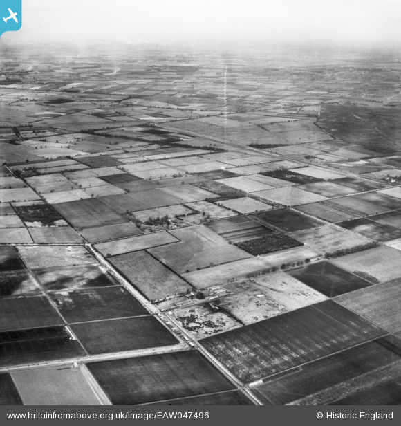
EAW047496 ENGLAND (1952). Ninescores Farm, Carr Side and environs, Blaxton, from the south-east, 1952
© Copyright OpenStreetMap contributors and licensed by the OpenStreetMap Foundation. 2026. Cartography is licensed as CC BY-SA.
Details
| Title | [EAW047496] Ninescores Farm, Carr Side and environs, Blaxton, from the south-east, 1952 |
| Reference | EAW047496 |
| Date | 10-October-1952 |
| Link | |
| Place name | BLAXTON |
| Parish | FINNINGLEY |
| District | |
| Country | ENGLAND |
| Easting / Northing | 469968, 401556 |
| Longitude / Latitude | -0.94493025760365, 53.505783778971 |
| National Grid Reference | SE700016 |
Pins

rossobantam |
Monday 29th of August 2016 11:47:57 AM | |
|
rossobantam |
Monday 29th of August 2016 11:47:28 AM | |
|
rossobantam |
Monday 29th of August 2016 11:46:09 AM | |
|
rossobantam |
Monday 29th of August 2016 11:45:33 AM |